CSVideoPlayer
... developed by the tech wizards at Microncode.com. This Windows 10 compatible software is a comprehensive solution for all your video playing needs. It is designed ...

GEODLL32 is a C++ geodetic library for developers integrating coordinate calculations into their own software. It handles 2D and 3D transformations, datum shifts, reference-system conversions, distance calculations and direct or inverse geodetic solutions. Coverage includes global systems, regional grids through NTv2, and historical or local systems. The library also supports custom coordinate systems and multithreaded use.
| Author: | Killet Softwareentwicklung GbR |
| License: | Trialware |
| Price: | $600.00 |
| Released: | Oct 12, 2026 |
| File size: | 5.90 MB |
| Downloads: | 311 |
| Keywords: | coordinate transformation dll, Function, C. Killet Software, ntv2 transformation library, GEODLL32 Review, Precision Mapping, Coordinate, coordinate reference system tools, geodetic software library, Geodetic Function, Geodetic Development, Reference System, Refecrence, Windows 10 Compatible, x64 Software, Coordinate Transformation, geodetic coordinate converter, datum shift software |
| Author URL: | https://www.killetsoft.de/ |

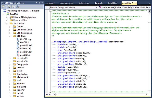
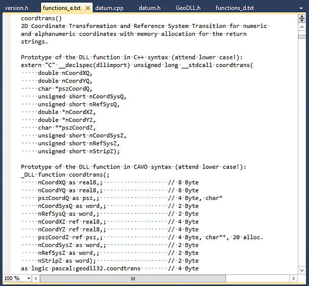
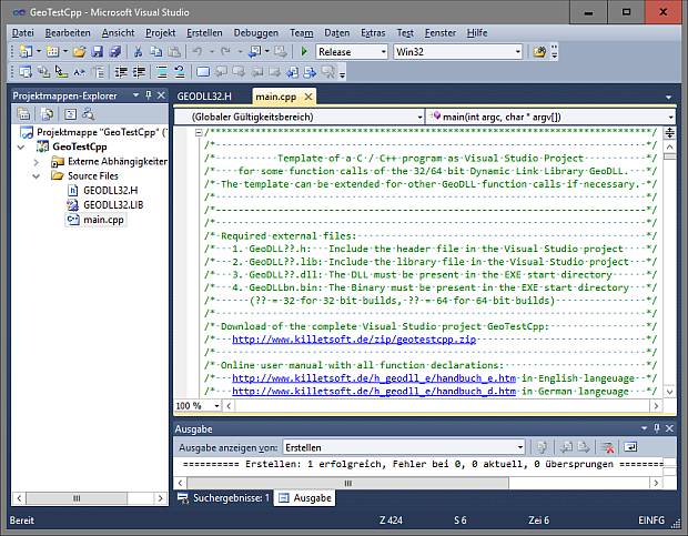

GEODLL32 is a geodetic software library for developers building applications that work with coordinates, maps and reference systems. Delivered as a C++ DLL, it provides functions that can be integrated into custom programs rather than serving as a standalone mapping interface. Its calculations cover two- and three-dimensional coordinate transformations, datum shifts and conversions between geodetic reference systems, making it useful for GIS, surveying, engineering and other applications that need to interpret location data consistently.
The library can transform coordinates between many current and historical systems used around the world. Its coverage includes European Union countries and other European nations, North American systems such as State Plane on NAD27 and NAD83, and coordinate systems in Australasia and other continents. It also handles German regional systems, including historical Prussian Soldner land registers and state-specific reference systems. In practice, an application can use these functions to convert incoming coordinates into the system required for its maps, measurements or data exchange. NTv2 grid-file support allows transformations that rely on regional grid data.
For projects with specialized mapping requirements, GEODLL32 supports user-defined coordinate and reference systems, local systems and earth ellipsoids. These can be configured using coordinate-system parameters, ellipsoid semi-axes, seven-parameter Helmert transformations or three-parameter Molodenski transformations. Additional functions address meridian-strip changes, map projections and geodetic conversions. Distance calculations and direct and inverse geodetic solutions support workflows that calculate positions from bearings and distances or determine measurements between locations. Digital Elevation Model functions and BeTA2007 support provide further tools for applications working with terrain or relevant German geodata.
The library includes projections such as Bonne and Equidistant Cylindrical, also known as Plate Carrée, alongside coordinate systems for regions including Israel, Vietnam, Belgium, Portugal and the French départements. Its NTv2 implementation supports grid-based transformations for countries that provide data in that standard. Functions are suitable for multithreaded use, allowing programs to run geodetic operations across concurrent tasks. Extensive documentation is included, and the software is available as a DLL or as C++ and CA-Visual Objects source code, giving developers options for integrating or adapting its functionality.
GEODLL32 is intended for software developers who need geodetic calculations inside their own applications, rather than for users seeking a ready-made mapping program. It is trialware and is designed for Windows; supported systems include Windows 10 and Windows 11, as well as several earlier Windows releases. The compact library is written in C++, with coordinate conversion, projection and measurement functions exposed for use in application workflows.