ezW2
... designed to simplify your tax filing process. This Windows 10 compatible software is a game-changer for businesses, accountants, and individuals who are looking to streamline ...

Netpas Distance is a maritime route planner for looking up distances between ports, editing routes and viewing passages on a world map. Its database covers more than 11,000 ports and 60 million distance records. The software also includes vessel tracking, voyage management, a port atlas and a simple voyage estimation tool. Routes can be redrawn and planned through selected waypoints.
| Author: | Seafuture Inc |
| License: | Trialware |
| Price: | $149.00 |
| Released: | Dec 21, 2023 |
| File size: | 57.50 MB |
| Downloads: | 446 |
| Keywords: | calculator, voyage planning, port distance database, calculate port distance, Windows 10 compatible, voyage management tool, port distance calculator, port distance planner, maritime software, Netpas Distance, port distance calculation, port distance, sea route planner, Seafuture Inc, vessel tracking software, distance planner |
| Author URL: | https://www.netpas.net/ |

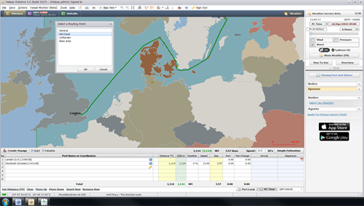

Netpas Distance is a port-to-port distance planning program for maritime professionals who need to check routes, manage voyages and make basic voyage estimates. Its database covers more than 11,000 ports and 60 million distance records, giving users a way to look up routes without relying solely on a printed port atlas. Search by port name to locate destinations and inspect their positions on the world map.
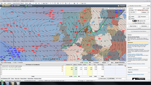
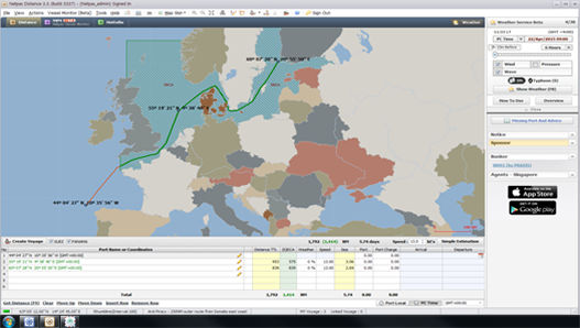
For a route calculation, users select ports and review the suggested route visually on the map. The map can be zoomed in or out to examine route details at different scales. Routes can also be edited or redrawn, and multiple routing points can be chosen to shape a passage according to planning needs. This makes it possible to compare route options and view the path alongside the distance information, rather than treating the result as a number alone.
The program also includes vessel tracking and voyage management tools. It can display a vessel's route on the map, helping users follow voyage progress in relation to the planned passage. A simple voyage estimation feature supports preliminary calculations for a trip. The e-Port atlas provides another way to explore port locations, while route editing lets users adjust a plan as requirements change. These tools bring lookup, mapping and basic voyage organization into one desktop application.
Netpas Distance is intended for tasks such as checking distances between ports, preparing or revising voyage routes, and reviewing a vessel's route during a voyage. It may also help users who need a map-based reference for port locations and an initial estimate before more detailed voyage planning. The database is central to these tasks; if a port is missing, the vendor says it can be added after notification, with updates generally made within two weeks.
The software is trialware and is available for Windows. The supplied system information lists Windows 7, Windows 8 and Windows 10, including their 64-bit editions; it does not establish support for other releases. Netpas Distance focuses on maritime routes and port information rather than general-purpose road navigation or detailed operational forecasting. Its combination of port-distance lookup, editable map routes, vessel tracking and voyage management is most relevant to users whose work involves planning or monitoring sea voyages.