AudeLA
Welcome to your one-stop destination for downloading AudeLA, an exceptional software developed by the Audela Core Team. This software is a gem for astronomy enthusiasts and ...

SkyChart is an open-source celestial atlas for preparing customized maps of the sky. It draws on 16 catalogs of stars and nebulae and shows the positions of planets, asteroids and comets. Users can select catalogs, adjust colors and object sizes, add labels and coordinate grids, overlay images, and set visibility conditions. Its flexible charts help observers prepare maps for specific sessions rather than rely on a fixed planetarium display.
| Author: | Patrick Chevalley |
| License: | Open Source |
| Price: | FREE |
| Released: | Dec 3, 2019 |
| File size: | 43.70 MB |
| Downloads: | 352 |
| Keywords: | planet and comet positions, star chart generator, Star mapping tool, Patrick Chevalley, SkyChart review, simulate, sky chart generator, celestial atlas, simulate eclipse, astronomy observation planner, draw, x64 compatible, sky chart software, Windows 10 application, Astronomy software, draw sky chart, simulator, eclipse simulator |
| Author URL: | http://www.ap-i.net/skychart/en/contact |
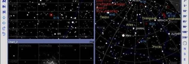
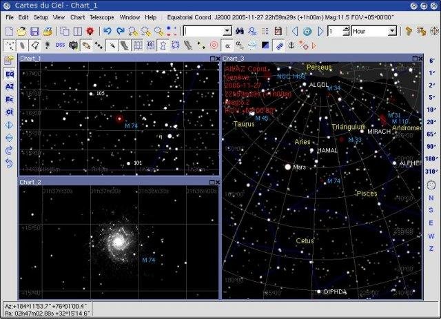



SkyChart is a desktop celestial atlas for amateur astronomers and observers who want to plan a session with a tailored map of the sky. It draws charts from data in 16 catalogs of stars and nebulae, and plots the positions of planets, asteroids and comets. Rather than showing only a general view of the night sky, it lets users adapt the chart to a particular observation and the objects they want to locate.
Chart settings control which catalogs contribute data, as well as the appearance and scale of stars and nebulae. Users can adjust colors and object dimensions to make features easier to distinguish, then add labels and coordinate grids for orientation. The display can also represent planets and overlay images, helping combine chart data with visual references. Visibility conditions provide another way to shape the map for the observing situation.
These options support both manual chart preparation and automatic selection of settings. An observer can narrow the displayed information for a focused target search, or include more catalog data when exploring a wider area. Labels and coordinate grids help relate chart positions to the sky, while adjustable symbol sizes and colors make dense regions more legible. The resulting maps are intended for planning observations, not just for browsing a general planetarium view.
SkyChart is useful before an observing session for preparing maps around selected objects, checking where planets or smaller solar-system bodies appear, and producing charts that suit different levels of detail. Its combination of catalog-based objects, configurable presentation and image overlays can also help users create reference maps for an observing project. The amount of control makes it suitable for users who want to tune a chart rather than rely on a fixed display.
The program is open-source and free to use. The supplied Windows compatibility information includes Windows 10; no Windows 11 compatibility is established here. Its chart data comes from the included catalogs, and the visible result depends on the catalogs and display settings selected. SkyChart is a mapping and observation-planning tool, with chart preparation as its central purpose.