Google Earth 7.3.4.8248 review by Mohamed Pujeh Junior (Mar 16, 2022)


The service provided had been great and enjoyable

Google Earth is a virtual globe for exploring the planet through satellite imagery, aerial photographs, maps and three-dimensional terrain. Users can zoom from a global view to cities and landmarks, inspect street-level panoramas where available, and compare historical imagery to see how places have changed. Voyager tours combine locations with explanatory material, making the free desktop application useful for learning, trip planning and geographic exploration.
| Author: | |
| License: | Freeware |
| Price: | FREE |
| Released: | Dec 16, 2024 |
| File size: | 59.50 MB |
| Downloads: | 2290 |
| Keywords: | satellite, Interactive mapping, google, google earth 2008, explore, 3D terrain, globe, Street view, google my way, User-friendly interface, historical map imagery, Satellite imagery, street view explorer, earth, Global exploration, 3d earth map, google earth pro, google earth, satellite imagery viewer, earth google, google earth pro free download, geography learning software, virtual globe software |
| Author URL: | https://www.google.com/ |

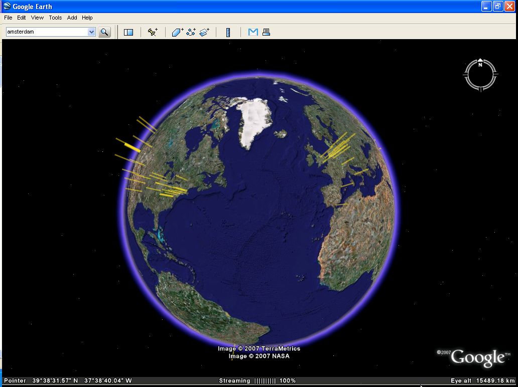


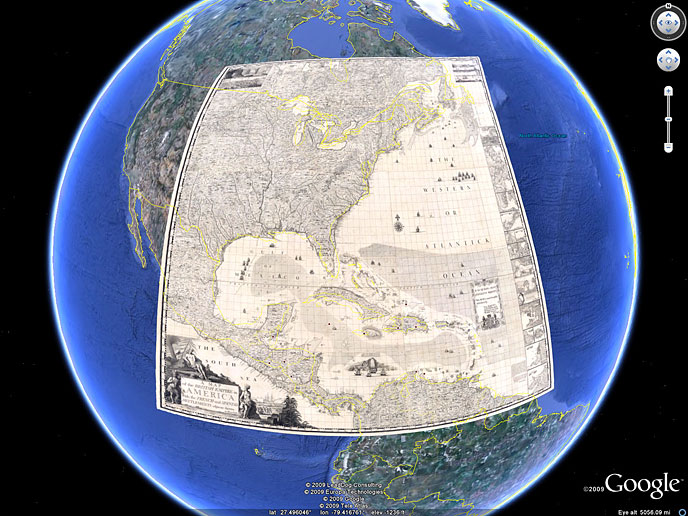
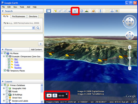


Google Earth is a virtual globe for exploring places through satellite imagery, aerial photographs, maps and three-dimensional terrain. It is useful for anyone who wants to examine distant locations, understand how landscapes fit together or prepare for a trip, as well as for teachers and students studying geography, history and the environment. The desktop application combines a view of the planet with controls for moving between a global perspective and detailed views of individual regions.
Navigation lets users pan, rotate and zoom across the globe, moving from continents and countries to cities, landmarks and street-level scenes where coverage is available. Three-dimensional terrain and selected buildings provide a clearer sense of elevation and urban form than a flat map alone. Street View adds panoramic ground-level imagery, allowing users to look around particular streets and sites before visiting them or to explore them remotely. Available detail varies by location, and imagery is not necessarily live.
Historical imagery can show how a place has changed over time. Comparing dates helps users investigate urban growth, shoreline movement, land use and other visible changes, though the available dates and resolution differ from one location to another. Map layers add context such as roads, borders and labels, while geographic features can be examined in relation to surrounding terrain. These tools make the globe useful for visual exploration and introductory research, rather than a substitute for authoritative or current surveying data.
Voyager offers guided, topic-based tours that combine locations with explanatory material and media. It can help educators structure a geography or history activity, or give curious users a starting point for exploring a subject across multiple places. Travelers can use Earth to preview neighborhoods and landmarks, compare destinations and get a broader sense of the area around a planned visit. Researchers and planners can use its imagery and historical views to form questions about a location, then check findings against suitable specialist sources.
Google Earth is freeware from Google and is available for Windows. Its imagery and mapping content are delivered through the application, so an internet connection is needed to load locations and current available content; the amount of detail depends on the area and available imagery. The interface supports movement around a three-dimensional representation of Earth, while its layers, tours and street-level views offer different ways to investigate the same place. It is suited to visual exploration and learning, with coverage and image dates that can vary by location.
The service provided had been great and enjoyable