C2A
Welcome to the ultimate destination for your Windows 10 software needs. Here, we present to you the ... of features. It provides a detailed and high-quality display of celestial bodies, making it possible for users ...

ExpertGPS is Windows mapping software for Garmin, Magellan and Lowrance GPS users. It displays waypoints, routes and tracks over USGS topographic maps and aerial photos, lets users draw routes on maps and transfer them to a GPS, and searches a waypoint database for nearby features. Downloaded maps are saved for offline use; GPS data can also be exchanged with Excel and compatible mapping programs.
| Author: | TopoGrafix |
| License: | Trialware |
| Price: | $39.00 |
| Released: | May 1, 2026 |
| File size: | 17.60 MB |
| Downloads: | 3829 |
| Keywords: | TopoGrafix, display, GPS, map, offline topographic maps, waypoint editing, ExpertGPS, GPS mapping, Windows 10, display waypoint, retrieve map, gps mapping software, gps waypoint manager, GPS map, gps route planner, transfer gps routes, x64 software, view gps tracks |
| Author URL: | https://www.expertgps.com/ |


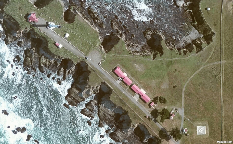
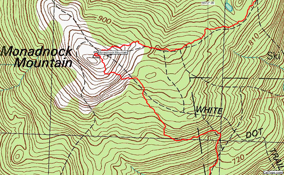


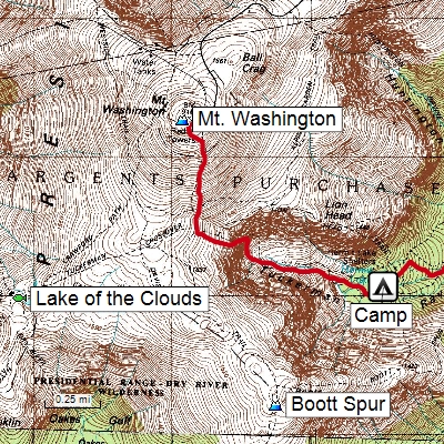



ExpertGPS is desktop mapping software for GPS owners who need to plan trips, view recorded location data and move information between a computer and a compatible Garmin, Magellan or Lowrance receiver. It displays waypoints, routes and tracks over USGS topographic maps and aerial photos, bringing map planning and GPS data management together in one Windows application.
For trip planning, users can draw routes directly on a map, then transfer the route to a GPS device. Existing waypoints, routes and tracks can be displayed over map imagery to help review where a trip goes and how recorded data relates to the surrounding terrain. A search tool finds nearby features using the program’s waypoint database, which can help when looking for points of interest around a planned route or destination.
ExpertGPS retrieves maps over an internet connection as users navigate the map view and saves downloaded imagery to the computer. This supports later use away from an internet connection: users can prepare an area in advance, let the program identify map data that still needs to be fetched, and download it before leaving. The saved maps and GPS data remain available on the laptop during a trip without a live connection.
The program also provides tools for organizing and exchanging GPS information. Data can be moved between ExpertGPS and Excel or compatible mapping applications such as Topo! and Terrain Navigator. GPS data can also be shared with users of ExpertGPS and EasyGPS, making it practical to pass routes and other location information between people using those programs. Links to online resources provide access to street maps, weather forecasts and nearby attractions.
ExpertGPS is intended for outdoor trip planning and GPS workflows that benefit from map-based editing, offline map access or transferring data between a computer and a receiver. It is trialware for Windows 10 and Windows 11 64-bit systems. Map retrieval requires an internet connection, while maps already saved to the computer can be used offline.