Elshayal Smart for Windows 10 - Full description
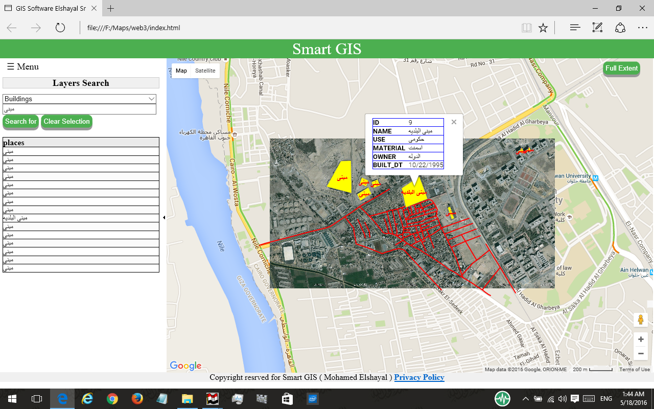
Elshayal Smart is a geographic information system (GIS) editor for working with maps, spatial data and GPS routes. It is intended for users who need to create or modify map layers, inspect geographic features and perform basic network and raster-image tasks without relying on a commercial GIS package. Its workspace combines map display, layer management, feature editing and attribute-table tools.
The editor can open, add, remove and reorder layers, save layer data and adjust layer properties and data sources. Users can create new layers and work with shapefiles, selecting features on the map and editing their geometry or attributes. Vertex tools support moving points, entering vertex coordinates and snapping vertices into place. Selected features can be copied or moved to another layer, or deleted, while table tools allow attribute values and table structure to be changed.
For map navigation and inspection, Elshayal Smart provides zoom, pan, feature identification and selection controls, including inverted selection. Attribute and location query builders help locate records or features by their data or position. The program can download maps from Google Earth, trace and save GPS routes, and view or rectify raster images in GIF, JPEG and BMP formats. Coordinate-system conversion supports work involving data that uses different spatial reference systems.
Additional tools cover network creation and shortest-path searches, map printing, and exporting a map view as an image or copying it to the clipboard. Projects can be saved for continued work, and the software can apply VB scripts to map data. These functions suit tasks such as editing existing spatial datasets, assembling layers for a map, reviewing location data and preparing a printable or shareable map image.
Elshayal Smart is freeware for Windows. The supplied operating-system information covers Windows Vista, 7, 8 and 10, including their 64-bit editions; it does not establish compatibility with later Windows releases. Its feature set includes GPS and 3D-related tools, alongside its core 2D mapping and GIS editing functions.